Gulf Tanker Damage Near Al Jubayl: What the Routing and War-Risk Records Show

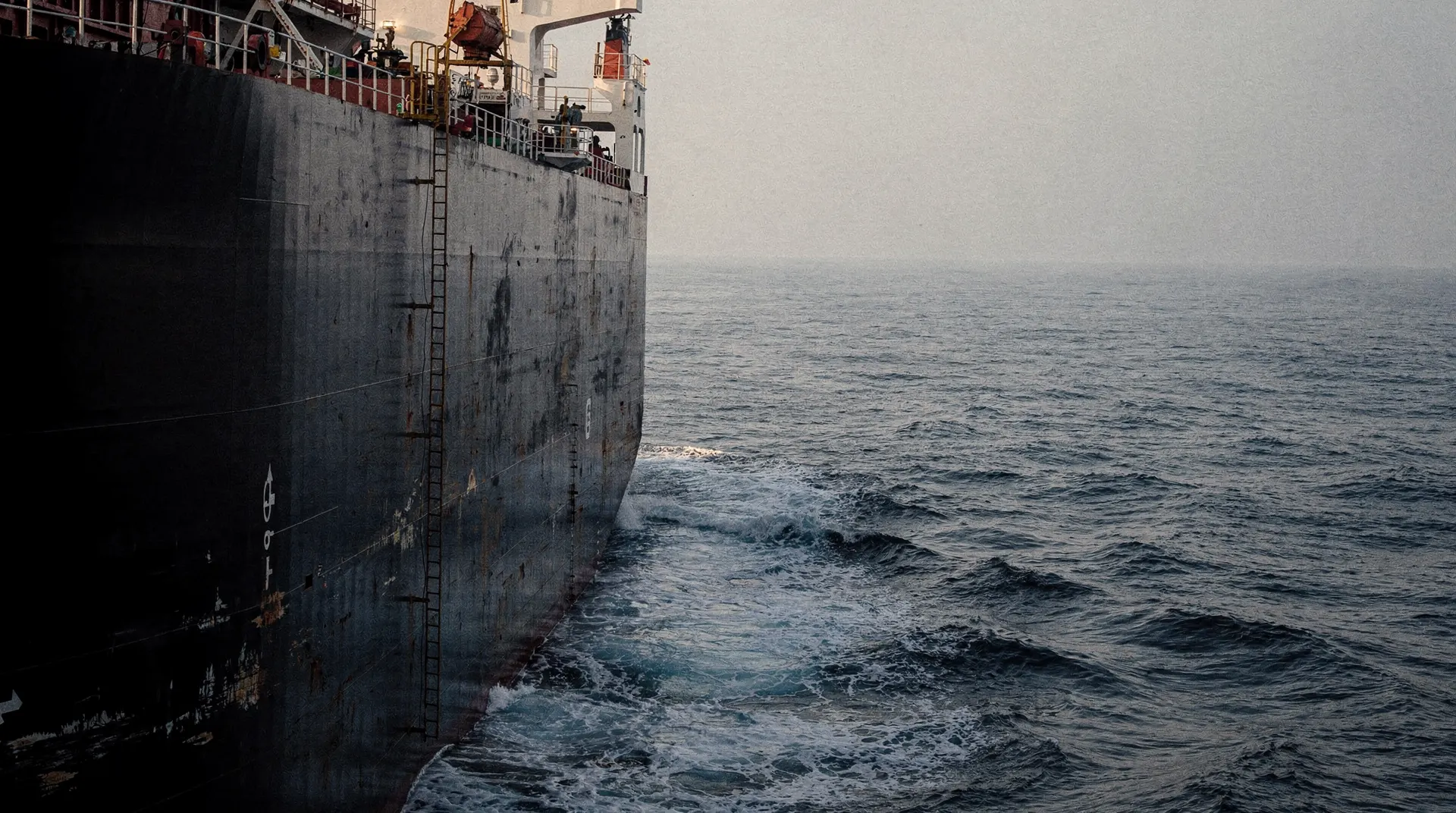
Gulf Tanker Damage Near Al Jubayl: What the Routing and War-Risk Records Show A reported October 16 strike came after a measurable fall in observed Hormuz traffic; public insurance records establish exposure, not a new premium. The Finding A tanker master reported that a rocket-propelled grenade fired from a small boat damaged the vessel's aft port quarter 78 nautical miles northeast of Al Jubayl, Saudi Arabia, at 19:22 UTC on October 16. The crew were accounted for and reported safe, according to UK Maritime Trade Operations (UKMTO) warning 175-26 . UKMTO said the full damage assessment and environmental impact were unknown when it issued the warning. The report does not establish who launc…
Continue reading with Premium
The full supply-chain analysis, with levels, positioning, and what changed, continues below the line.
Create a free account for extended previews · Already a member? Log in
Secure checkout via Stripe